P.G. DIPLOMA IN GIS REMOTE SENSING
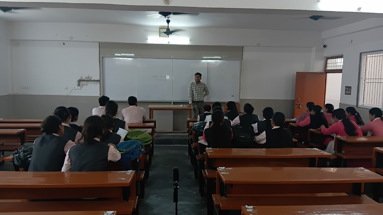
The P.G. Diploma in GIS Remote Sensing at Dr. Ghanshyam Singh Mahavidyalaya is designed to provide specialized knowledge in Geographic Information Systems (GIS) and Remote Sensing technologies. The program focuses on developing technical and analytical skills required for mapping, spatial analysis, environmental monitoring, and data management. The curriculum includes subjects such as digital mapping, satellite image interpretation, geospatial technology, surveying, and data analysis. Students gain practical experience through laboratory work, software applications, field surveys, and project-based learning, helping them understand modern geospatial technologies effectively.
Experienced faculty members guide students in applying GIS and Remote Sensing techniques in areas such as urban planning, environmental management, agriculture, disaster management, and resource planning. The program also encourages research and innovation in geospatial studies. Graduates of this diploma course are well-prepared for careers in government agencies, research organizations, environmental consultancy, mapping services, and technology-based industries, while also building a strong foundation for advanced studies and professional growth.